We use cookies to make your experience better. To comply with the new e-Privacy directive, we need to ask for your consent to set the cookies. Learn more


Buy Country & World Wall Maps Online from Maps International
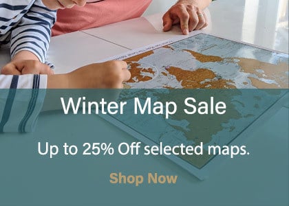
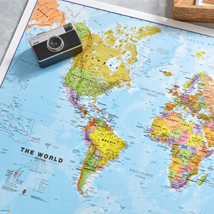
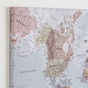
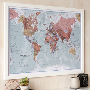
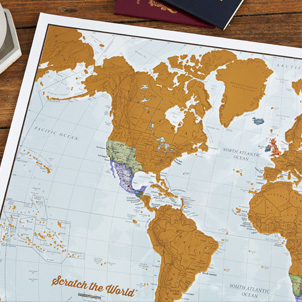
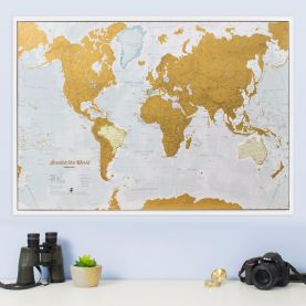
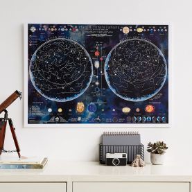
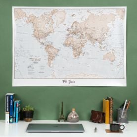
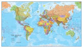
Buy maps from Maps International. Our maps are beautifully designed by our expert Cartographers and we have one of the largest range of wall maps available worldwide to buy online. We offer free delivery* on wall maps you buy from us, including our famous World Map Posters, UK Roadmap (British Isles), our Scratch & Travel Map Prints and a huge amount more. Our maps come in a range of different sizes and finishes from printed maps to map canvases.


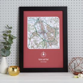
Our range of printed & personalised Wall Maps
Featured Maps
-
-
-
-
-

-
-
-
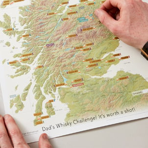
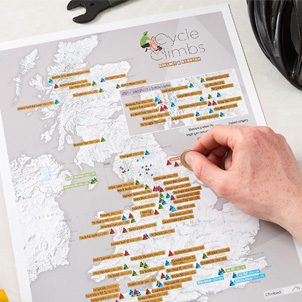
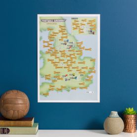
 Scratch Off British National Parks & Outdoors Print
Available in various sizes and finishes
Free Shipping